
Ecological assessments for WildCount
Undertaking Floristic and Habitat Surveys for a Long-Term Monitoring Program run by NSW National Parks and Wildlife Service
WildCount is a remote fauna monitoring program initiated and run by NSW National Parks and Wildlife Service (NPWS). The program (one of the first in the world to monitor a broad suite of animals at such a large scale) involves use of motion-activated camera traps to detect wildlife in 200 sites within 146 National Parks and Reserves across eastern NSW. WildCount looks at trends in the occurrence of animals at these sites to understand if populations are in decline, stable or increasing. Understanding these trends allows important decisions surrounding the protection of species and their conservation status to be made and allows for more targeted and timely management of Parks and Reserves.
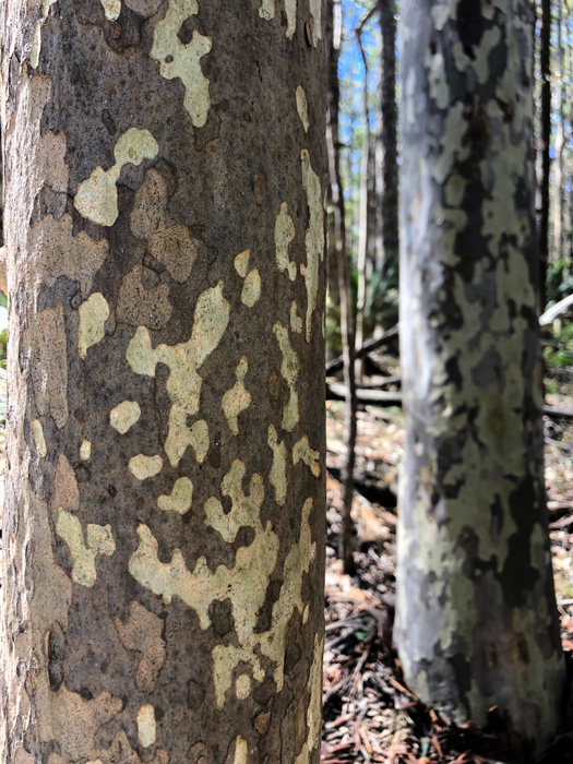
In 2020 TEF were engaged by NPWS to undertake floristic and habitat surveys at multiple WildCount locations across south-eastern NSW. For this work, the TEF ecology team (joined by specialist botanist Maya Potapowicz) undertook surveys in accordance with the Biodiversity Assessment Method (BAM), which involved full floristic surveys to catalogue the Plant Community Types present at each monitoring location, as well as detailed assessment of habitat components such as large trees, tree hollows, litter, fallen logs, and percentage cover of each vegetation layer. These data can be used to provide insight into the different landscape features and habitat components available to the fauna that may be present at the WildCount sites, including threatened species.
The NPWS were able to compare floristic and habitat information collected by TEF with previously collected benchmark data in order to provide an indication of the overall quality of the vegetation community at each site, and to assess how this may have changed over time.
Long-term programs such as WildCount are invaluable for monitoring the health of Australian ecosystems, particularly following severe environmental disturbances such as the unprecedented wildfires of 2019-2020. Programs of this type also allow scientists and natural resource managers to assess ways in which natural biodiversity and vital ecosystem services might best be protected during the impacts of climate change.


More case studies

Enhanced mapping to inform local government decisions
Enhanced mapping to inform local government decisions A partnership with Orange City Council (OCC) and local community groups to improve mapping of ecological assets present within the OCC Local Government Area Understanding potential impacts that can arise from...
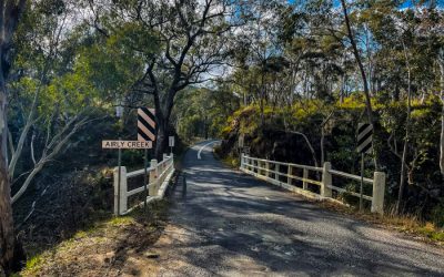
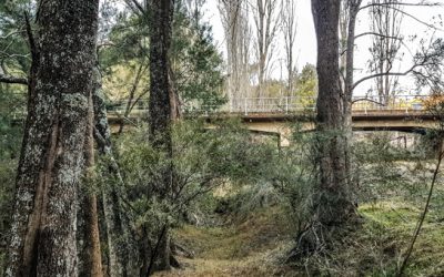
Investigation of environmental, heritage and social factors for bridge upgrades
Investigation of environmental, heritage and social factors for bridge upgrades Review of Environmental Factors, Ecological Assessment and Aboriginal Due Diligence and Historic Heritage Assessment for Three Bridge Upgrades in the Region of Capertee, NSW In late...
Environmental, heritage and social considerations for a major rural road upgrade
Environmental, heritage and social considerations for a major rural road upgrade Hill End Road Upgrade: Dual projects, each involving Ecological Investigation, Aboriginal Due Diligence and Historic Heritage Assessment and Review of Environmental Factors In 2020 and...